ISDELA
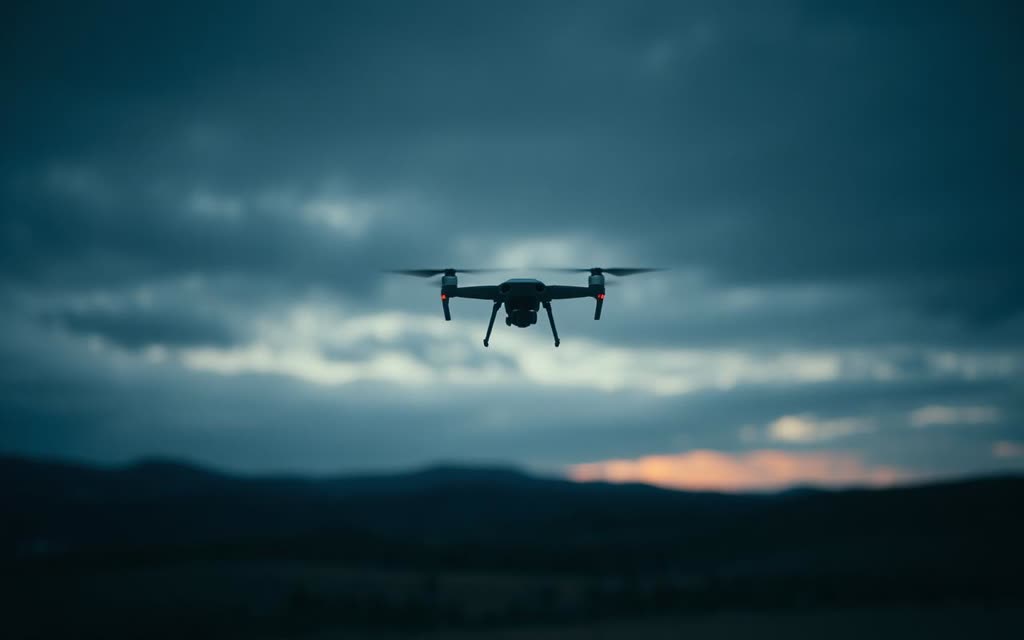
A small unmanned aircraft in flight over dark terrain at dusk

Capability Domain 01

Unmanned & autonomous systems, engaged responsibly.

From single-platform requirements to integrated counter-UAS ecosystems, ISDELA coordinates autonomous capability through qualified principals, lawful processes and disciplined programme support.

Support Areas

Across the autonomous mission set.

  • Unmanned aerial systems and mission-specific payloads
  • Autonomous survey, inspection and mapping
  • Explosive-threat and anomaly-detection support
  • Route and area assessment support
  • Intelligence, surveillance and reconnaissance platforms
  • Counter-UAS detection, tracking and response ecosystems
  • Ground-control, communications and data-management interfaces
  • Training, simulation, maintenance, spares and lifecycle support
  • Controlled demonstrations, evaluations and programme trials

Exclusive Systems

SENTINEL and PATHFINDER.

Manufactured by an affiliated company. ISDELA serves as sole strategic consultant and authorised programme-engagement partner for qualified institutional enquiries, demonstrations, integration discussions and lifecycle planning.

Concept render of a fixed-wing unmanned aerial platform on a dark studio background

Development concept visual — not product photography

Unmanned Aerial Systems

SENTINEL

Proprietary unmanned aerial systems family

SENTINEL is an affiliated family of unmanned aerial platforms intended for authorised defence, security, surveillance and mission-support programmes. Configurations, payloads, flight characteristics and integration options are disclosed according to the requirement, user authority and information classification.

Manufacture
Manufactured by an affiliated company
Programme engagement
Sole strategic consultancy: ISDELA
Concept visual of a survey drone mapping a route with an abstract georeferenced grid

Development concept visual — not product photography

Autonomous Detection UAV System

PATHFINDER

IED and explosive-threat detection-support UAV system

PATHFINDER is an autonomous aerial detection-support system being developed to help screen for suspected IEDs and other explosive threats, support route assessment, produce georeferenced anomaly maps and assist humanitarian clearance workflows. Its purpose is to improve situational awareness and help qualified teams prioritise areas for specialist investigation while reducing unnecessary personnel exposure.

PATHFINDER is a screening, mapping and decision-support system. It does not independently declare an area safe, neutralise explosive hazards or replace qualified EOD, IEDD, demining or route-clearance personnel and procedures.

Manufacture
Manufactured by an affiliated company
Programme engagement
Sole strategic consultancy: ISDELA
An open hangar door at dawn with a distant aircraft silhouette on the apron

Start an Authorised Conversation

Bring us the requirement—not a product list.

Share the capability outcome, organisation type, programme stage and intended timeline at an unclassified level. ISDELA will assess the requirement, confirm whether we are the right partner and propose an appropriate next step.

Do not submit classified, export-controlled, operationally sensitive or restricted technical information through this website.